Storm surge and more: See Hurricane Helene’s weather forecast for Manatee County

READ MORE
Hurricane Helene 2024
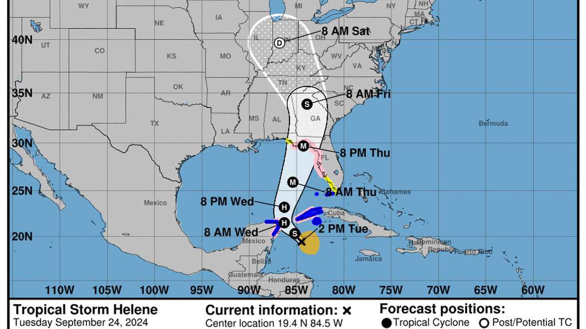
Hurricane Helene is projected to bring heavy rain, strong winds and possible floods to Manatee County and Florida’s Big Bend region. Forecasts, as of September 25, project Helene will strike Florida Thursday evening, September 26, and head north through parts of Georgia, South Carolina and North Carolina into Friday.
Expand All
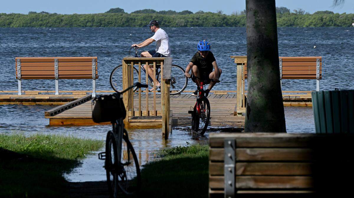
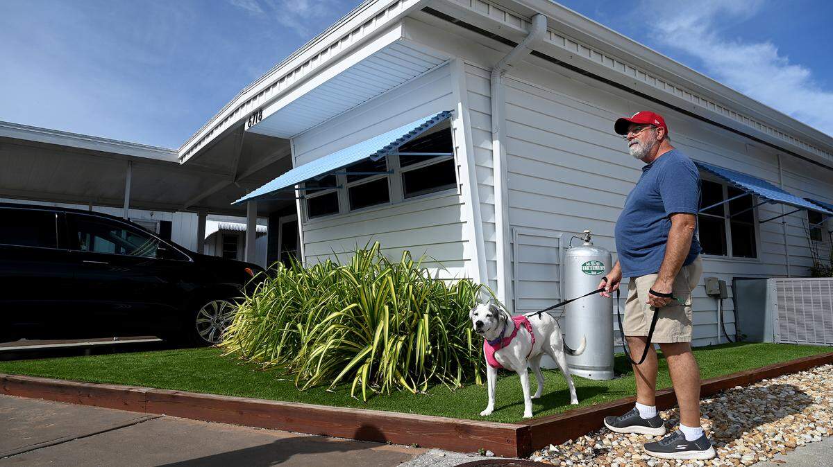
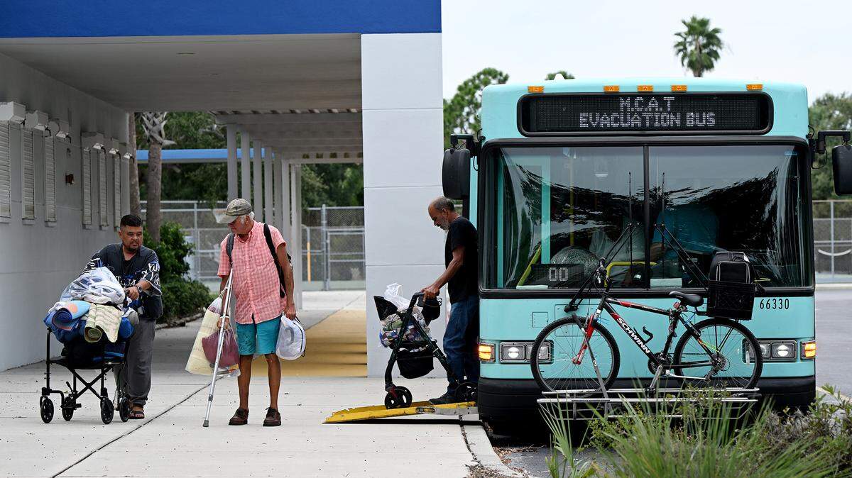
As Hurricane Helene approaches Manatee County, forecasters are urging residents to brace for heavy rain, strong winds and possible floods.
The storm strengthened into a hurricane Wednesday morning and is expected to become a Category 3 hurricane before it makes landfall Thursday evening in Florida’s Big Bend region. Even though Manatee County is not in the cone of uncertainty, Helene is expected to cause severe weather impacts in the Bradenton area.
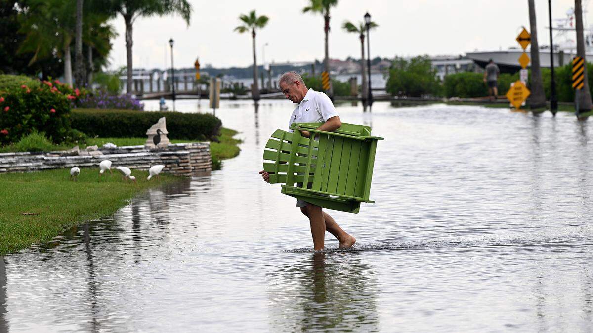
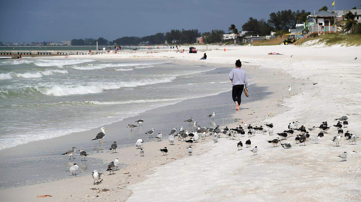
As of Wednesday afternoon, the National Hurricane Center said the Bradenton area could see between 3 and 6 inches of rain as the storm whips through Manatee County. Some areas could see higher rainfall totals, forecasters say.
Storm surge warning for Manatee County
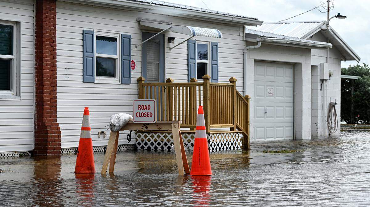
Hurricane Helene has also prompted a storm surge warning, a tropical storm warning and a hurricane watch for coastal Manatee County.
“The large size of the storm is going to push so much water,” NHC Deputy Director Jamie Rhome said in an update Wednesday morning. “When it comes to storm surge, the size of the hurricane is often more important than the intensity, which is often hard for people to digest.”
“If you’ve been asked to evacuate or ordered to evacuate, it’s probably because of these storm surge values,” Rhome said.
A tropical storm warning is also in effect for inland Manatee County. A warning means severe weather is expected to arrive within 36 hours.
Other Bradenton-area Helene impacts
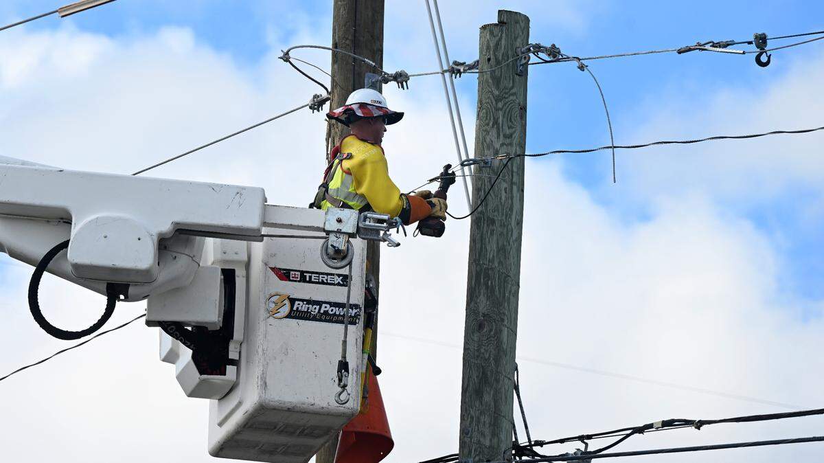
Forecasters say there is also potential for “several tornadoes” in the area. Helene is expected to produce gusts of winds up to 73 miles per hour in the Bradenton area, which could damage buildings, trees, power lines and more.
National Weather Service forecasters predicted up to 8 feet of storm surge in coastal areas from early Thursday morning to early Saturday morning.
Severe thunderstorms could begin as soon as 5 p.m. Wednesday in the Bradenton area and continue throughout the day Thursday.
This story was originally published September 25, 2024 at 1:43 PM.